GIS & RS
Home > Our Work > Programme Areas > Cross-Cutting Themes > Technology > GIS & AI
GIS & AI
Since 1994, the GIS, Remote Sensing & GeoAI Lab at M.S. Swaminathan Research Foundation (MSSRF) has been at the forefront of using geospatial intelligence to tackle environmental challenges. Combining cutting-edge GIS tools, satellite data, drone-based remote sensing, and AI-powered GeoAI analytics, the lab delivers solutions that support climate resilience, ecological management, food security, and community empowerment.
What We Do
Our lab acts as a powerful decision-support system for diverse sustainability initiatives, empowering policymakers, researchers, and local communities through data-driven insights.
We integrate:
High-Resolution Satellite Imagery
AI-Driven Land Use Analysis
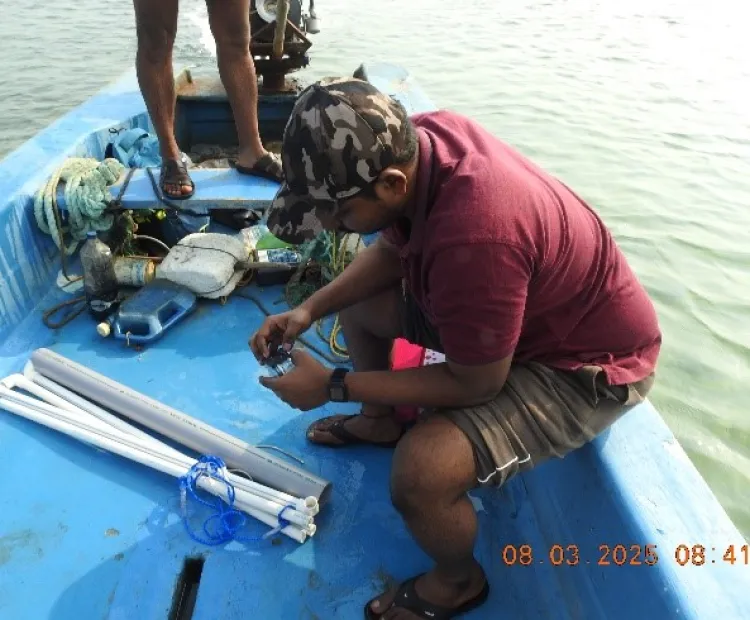
Drone Surveys & Precision Field Data (DGPS, GPS)
Real-Time WebGIS Platforms
Predictive Models for Climate Adaptation & Agriculture
Key Focus Areas and Impact
1. Water Resource Planning & Management
We map watersheds, aquifers, and design sustainable water budgets to support agriculture and rural communities facing water stress.
2. Village Development Planning
Using spatial data, we create integrated village development plans that map critical infrastructure, natural resources, and services for rural transformation.
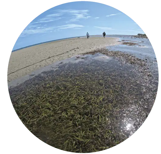
3. Blue Carbon Mapping
Through GeoAI, we assess the carbon sequestration potential of mangroves and seagrass ecosystems, supporting India’s climate action and blue carbon strategies.
4. Mangrove Restoration and Monitoring
Our AI-assisted mapping tools help monitor mangroves in hard-to-reach areas. Mangrove Atlases developed for Tamil Nadu, Odisha, and Andhra Pradesh serve as vital resources for policymakers and forest managers.
5. Coastal Vulnerability and Climate Risk Assessment
We analyse sea-level rise impacts along Karnataka and Tamil Nadu’s coasts, and help design coastal resilience and disaster adaptation strategies.
6. Disease Mapping and Early Warning Systems
Our spatial epidemiology models forecast disease hotspots linked to climate variability, providing vital inputs for public health interventions.
7. Food Security and Nutrition Mapping
Projects like the Food Insecurity Atlas and Food Systems for Nutrition provide actionable insights for improving food and nutrition security in states like Andhra Pradesh, Bihar, Maharashtra, and Odisha.
8. Smart Advisory Systems for Farmers
Through GIS-powered pest and disease forewarning models, our Farmers Mobile App (FMA) delivers real-time, location-specific advisories to small and marginal farmers.
9. Long-Term Environmental Monitoring
We conduct land use change analyses across India's coastal zones, helping track biodiversity loss and ecosystem shifts from 1980 to 2020, offering a deep understanding of ecological trends.
Building Future Geospatial Leaders
Certified Courses In collaboration with the Indian Institute of Remote Sensing (IIRS) in Dehradun, we offer ISRO-certified online courses in GIS and Remote Sensing.
Internships & Dissertations We mentor students on real-world applications of GIS, Remote Sensing, and GeoAI through hands-on projects.
Workshops & Training Programs Our customized workshops equip researchers, practitioners, and communities with practical geospatial skills for sustainable development.
Turning Data Into Action
At MSSRF’s GIS, Remote Sensing & GeoAI Lab, we transform complex data into actionable insights for:
- Sustainable development
- Water security
- Biodiversity conservation
- Climate resilience
- Public health protection
- Community empowerment
Partner With Us
Explore research collaborations, capacity building programs, and training opportunities with us. Email nagarajan@mssrf.res.in to partner with us in the journey toward resilient ecosystems and empowered communities.