Project Location:
South East Coast, Tamil Nadu
Funded by:
Microsoft
Project Duration:
3 years
Project Overview
This project focuses on mapping and quantifying Blue Carbon ecosystems—such as mangroves, seagrass beds, and salt marshes—along the Tamil Nadu coastline. This initiative uses an integrated approach combining drone-based remote sensing and Geospatial Artificial Intelligence (GeoAI) techniques. The aim is to generate high-resolution spatial data to support climate mitigation strategies, coastal ecosystem management, and carbon accounting, under national and global commitments like REDD+ and the Paris Agreement.
Objectives
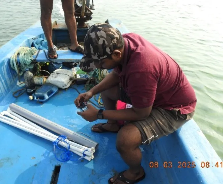
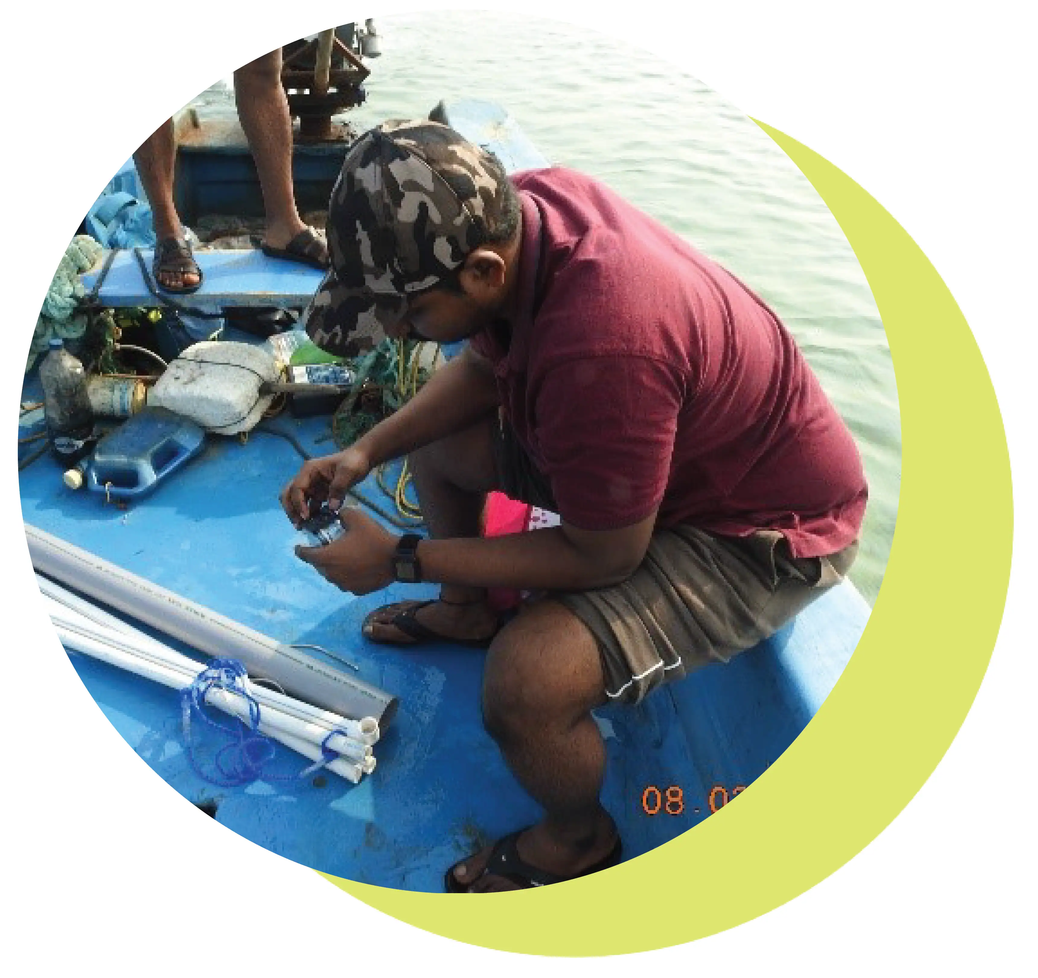
- To acquire high-resolution multispectral drone imagery covering the seagrass beds in the Gulf of Mannar and Palk Bay, tidal marshlands, and mangrove forests along the Tamil Nadu coast.
- To develop and apply state-of-the-art GeoAI algorithms, including machine learning and deep learning models, for accurate, mapping, classification, and characterization of these blue carbon ecosystems using the drone imagery in conjunction with field data.
- To quantify the carbon storage of the mapped blue carbon ecosystems by integrating the drone-derived spatial data with ground-based measurements through the application of AI algorithms, including machine learning models and allometric equations from established carbon accounting methodologies
- To generate comprehensive spatial data products, including high-resolution maps and carbon stock estimates, that can inform policymakers, resource managers, and stakeholders in developing effective strategies for conserving, managing, and enhancing the blue carbon ecosystems along the Tamil Nadu coast.